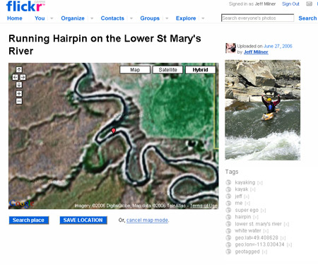
My new favourite tool to go along with Flickr is the Flickr Map GeoCoding Bookmarklet. It’s a Google Maps/flickr mashup that let’s you easily add geocoding information to your picture and/or see where other people’s geocoded images were taken. Also it’s so easy to use that even my parents could do it.
[The bookmarklet] enables mapping, geocoding and (of course) geotagging directly in your Flickr photo page. It works with all common browsers (Firefox, IE, Safari, Opera), so you do not need to install any extension to run it!
Once you’ve got it saved check out my collection of geotagged images.